Research
Habitat, sediment, and limiting-factor assessments for watershed councils and agencies. Fieldwork, sampling, and analysis follow the agreed scope when needed.
- Habitat assessments
- Sediment and shade
- Limiting factors
Demeter Design · Watershed planning
GIS mapping, watershed assessments, restoration planning, and data tools for watershed councils, agencies, and land managers.
Quote-only. We reply with scope and timeline.
What we do
Watershed councils, agencies, and community groups bring a question. We study it, rank the options, and write the plan.
Habitat, sediment, and limiting-factor assessments for watershed councils and agencies. Fieldwork, sampling, and analysis follow the agreed scope when needed.
Ranks restoration reaches using habitat data, surveys, GIS, and existing reports, so the work starts where it matters most.
Supporting method: GIS and mapping. Drinking-water and housing overlays, passage, and habitat maps that explain the resource visually.
The action plan is the written packet after the research: the plan a council can fund, with restoration priorities for the work plan.
Completed projects
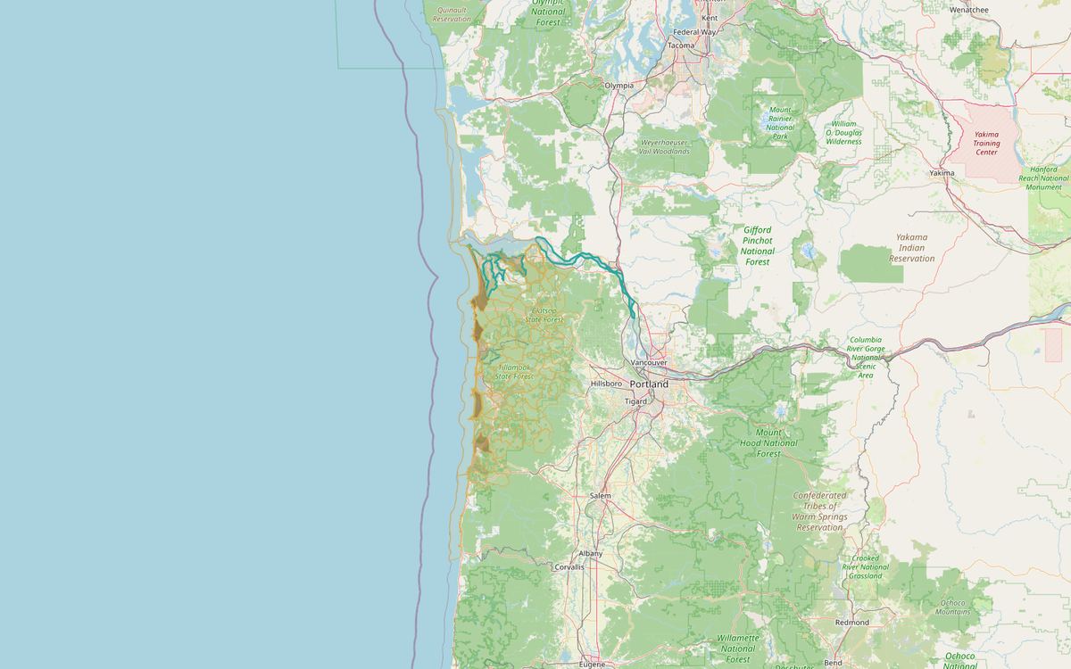
Counts houses outside city limits, well logs, and stream water rights per creek-size area in Clatsop and Tillamook counties.
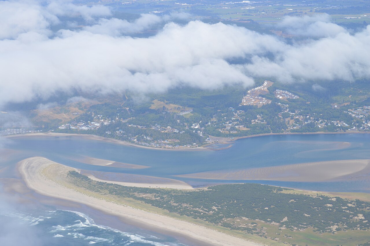
The 2015 Tillamook plan ranks hazards and lists mitigation actions. It names flooding, sea level rise, and earthquake.
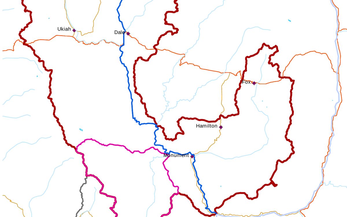
A 2010 assessment of North Fork John Day streams listed for sediment, prepared for the Bureau of Land Management.
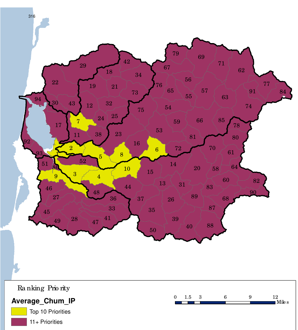
Rank the Tillamook Bay basins from the 2008 CERP report and set your own weights to see which comes first.
Spatial analysis, cartography, resource mapping.
Salmon spawning and rearing habitat restoration planning.
Before, during, after, we work with landowners to get the project on the ground.
Request a quote
Ask for research, analysis, or a plan. We reply with scope and timeline. Fieldwork follows the agreed scope when needed.